GPS Imagery
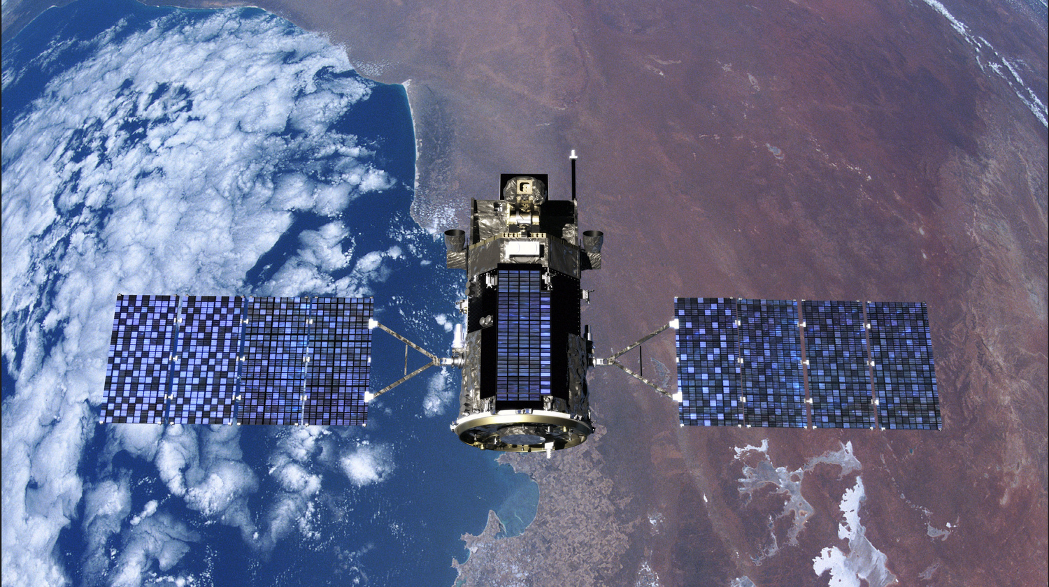
Our experts analyze GPS images of your land to inspect elevations and geographic elements in order to predict which areas are likely to maximize water production. All that is required is the address of your property you will be having a well drilled on.

Historical Well Data
We Investigate historical well data from hundreds of databases to find out the drilling history on and around your land. This gives us the ability to predict the depth of well required, ground water GPM and water quality you can expect from your future well.

Geological Probability Charts
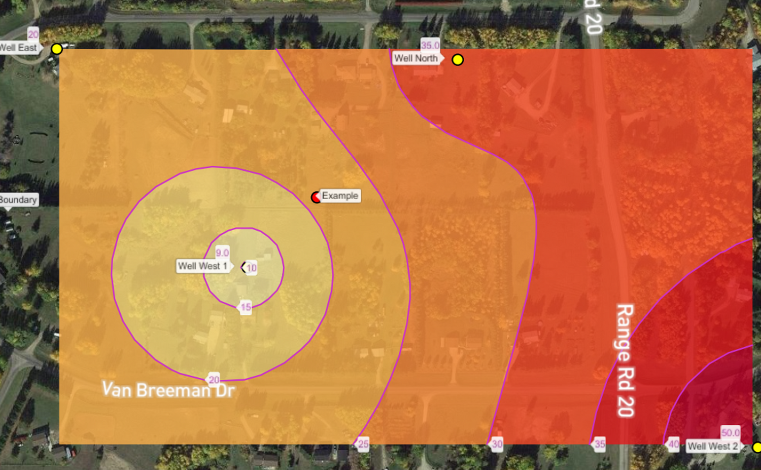
We calculate the areas of your property that have the greatest probability of providing the most ground water. The geological data provided in the historical well databases are run through complex computations that predict the paths of ground water aquifers.
